

What does this web tool do?
This web tool will show you where Intake Protection Zones (IPZs) and Wellhead Protection Areas (WHPAs) are.
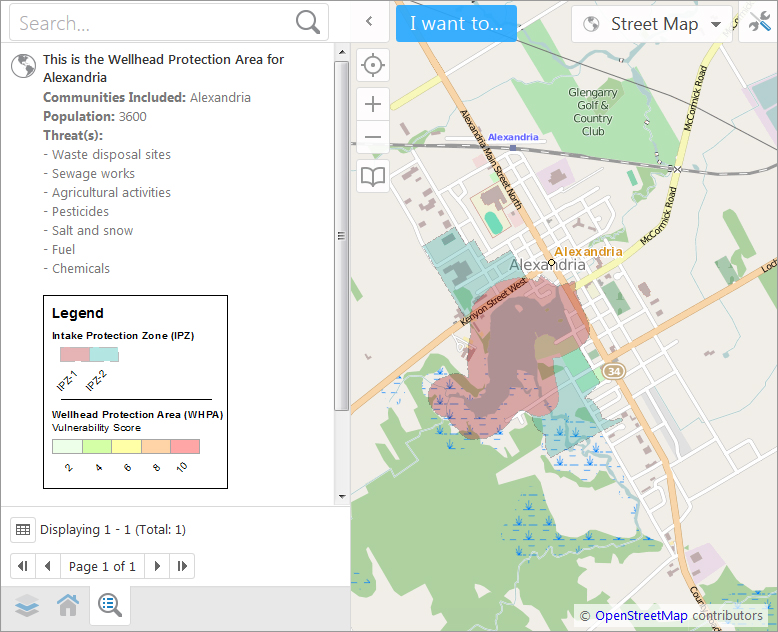
Intake Protection Zones (IPZs) protect municipal intakes which draw from surface water sources such as lakes, rivers and streams. The areas that are shown are those most at risk for contamination, where contaminants would reach water sources within 2 hours.
Wellhead Protection Areas (WHPAs) protect groundwater sources which supply us with drinking water through wells. Contaminants can seep into the ground and contaminate well water. WHPAs tell us what areas are vulnerable to drinking water contamination.