Official Reports
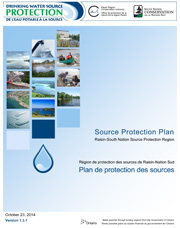
Source Protection Plan
A source protection plan is a list of policies and programs to protect current and future sources of municipal drinking water from contamination and overuse.
Access the Plan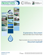
Explanatory Document
The explanatory document accompanies the Source Protection Plan and describes the policy development process and the rationale behind each of the policies.
Access the Document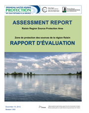
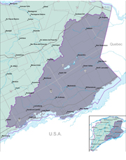
Assessment Report, Raisin Region Source Protection Area
An assessment report contains scientific information on the local watershed, the drinking water systems, and the evaluation of threats to local water supplies.
Access the Report
Assessment Report, South Nation Source Protection Area
An assessment report contains scientific information on the local watershed, the drinking water systems, and the evaluation of threats to local water supplies.
Access the Report
Terms of Reference
The Terms of Reference is a document which outlines the work that needs to be undertaken to complete the Assessment Report and the Source Protection Plan.
Access the Terms
Water Budget
Conceptual Understanding, Tier-1, Tier-2, and Tier-3 Local Area Risk Assessment
Access the Reports
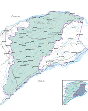
Watershed Characterization Report
The watershed characterization report is the foundation for building the necessary pieces of a source protection plan.
Access the ReportMaps
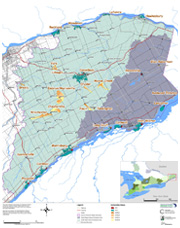
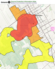
Municipal Systems Map
Raisin-South Nation Source Protection Region, with Drinking Water Systems and Vulnerable Areas.
Access the Map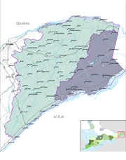
Resources
GIS Geo Portal
This web tool will show you where Intake Protection Zones and Wellhead Protection Areas are.
Access the Geo Portal
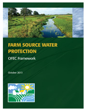
Farm Source Water Protection
Ontario Farm Environmental Coalition Framework, October 2013.
Download the Report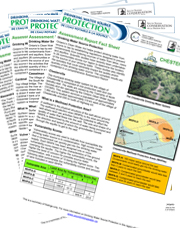
Municipal Fact Sheets
Individual Fact Sheets for each Municipal Drinking Water System in the region.
Download a Fact Sheet
Supporting Documentation
Province of Ontario documentation and web resources to support Source Protection.
Review the Documentation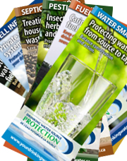
Source Protection Brochures
A series of educational brochures geared towards source water protection.
Access the Brochures

Media Releases
Media Releases concerning Source Water Protection activities in the region.
Browse the Releases