

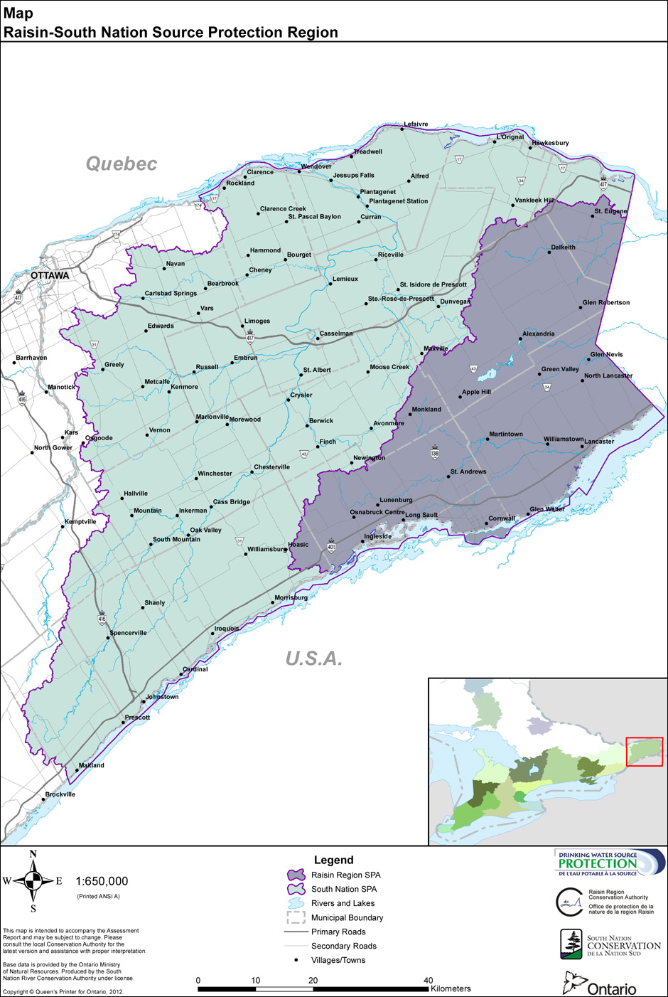
A high-resolution PDF version of this map is available from the Assessment Report.
Download SPA/SPR GIS boundary Files
The Source Protection Area Generalized (SPAGEN) dataset is considered the public facing dataset for supporting the Clean Water Act. This cartographic version of the product maintains the resolution of the original SPPB data set, however the boundaries have been smoothed to create a more visually appealing and easy loading GIS product, making it suitable for general mapping and GIS applications.
Under O.Reg 284/07 section 3, the Minister shall ensure that the boundary data and maps that show the approximate boundaries are available to the public on the Internet. To meet this requirement, SPAGEN is now available to the general public as a structured polygon shape file product from the Land Information Ontario (LIO) Warehouse. For more information on how to obtain this data, please contact LIO at lio@ontario.ca or (705) 755-1878.